RADICAL TOPOGRAPHY
Maps and other visualizations that re-imagine different systems
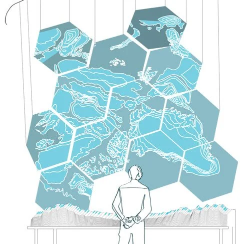
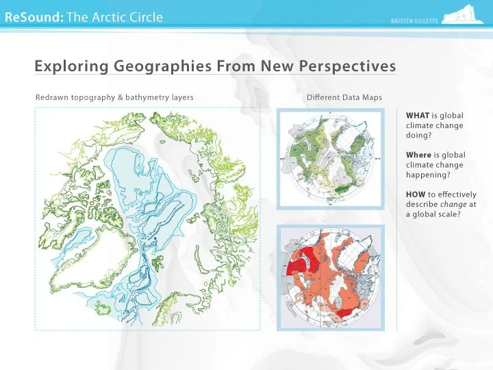
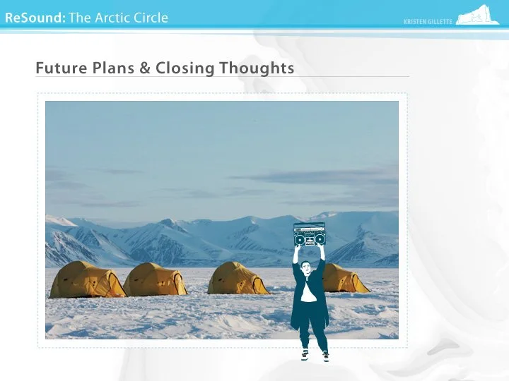
RESOUND: ARCTIC CIRCLE
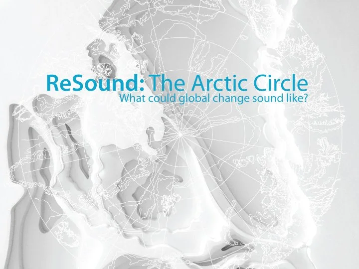
Using the Arctic Circle as both a focal point and a point of expansion, the ReSound project explores the sonic relationships and connections among different climate change events occurring throughout the world. The unique properties of sound and field recordings will be utilized to express climate change data, as different ecological and geospatial data sets, tied to critical geographies, are transformed into a layered, playable audio soundscape.

FIELD Maps
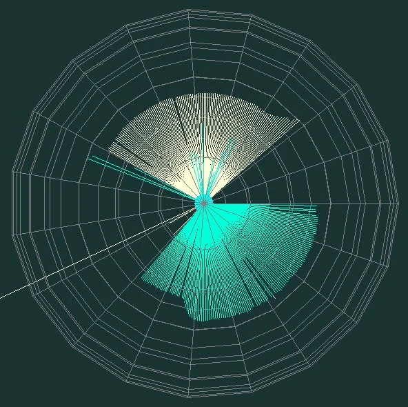
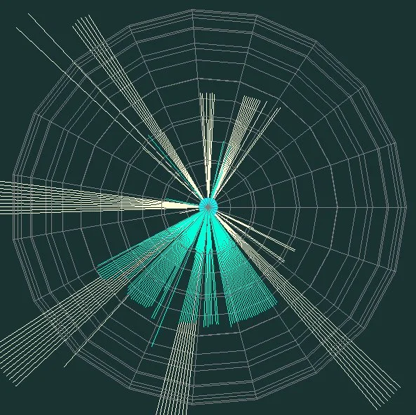
An audio visualizer with a purpose, developed using Max MSP. This application generates animated visuals that express relative pitch over time of audio inputs. Each unique circular form corresponds to a specific animal call, tested with bird calls in the video examples. Ideally, this program could be used in field research using field recordings to determine number of unique species in an area, without needing to visually verify each animal. This can be especially helpful for nocturnal species and harsh environments.
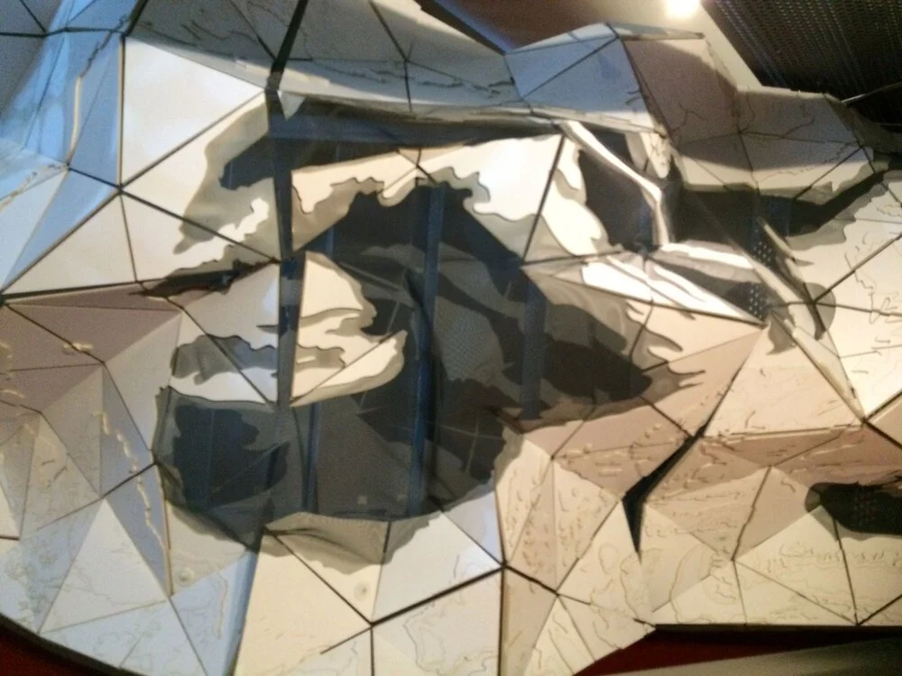
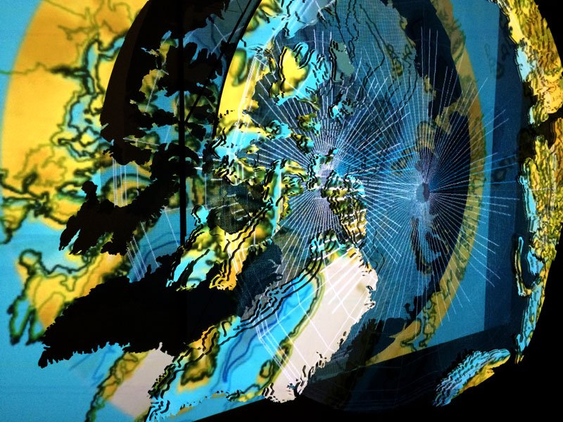
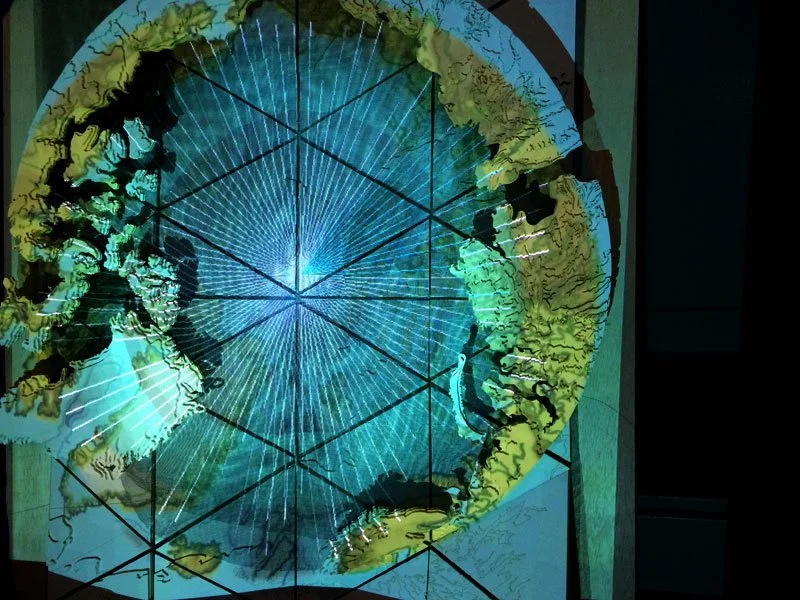
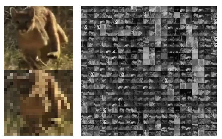
Meta-Image Video INSTALLATIONS
The meta-animations {animations or videos built from smaller images} below are generated on the fly using a unique Max MSP patch that assigns images to pixels in a video. These visuals can be further adjusted based on motion and audio inputs from the viewer, and are usually projected into interactive spaces. The resulting animations convey visuals with multiple layers of information and meaning.
Safe Passage

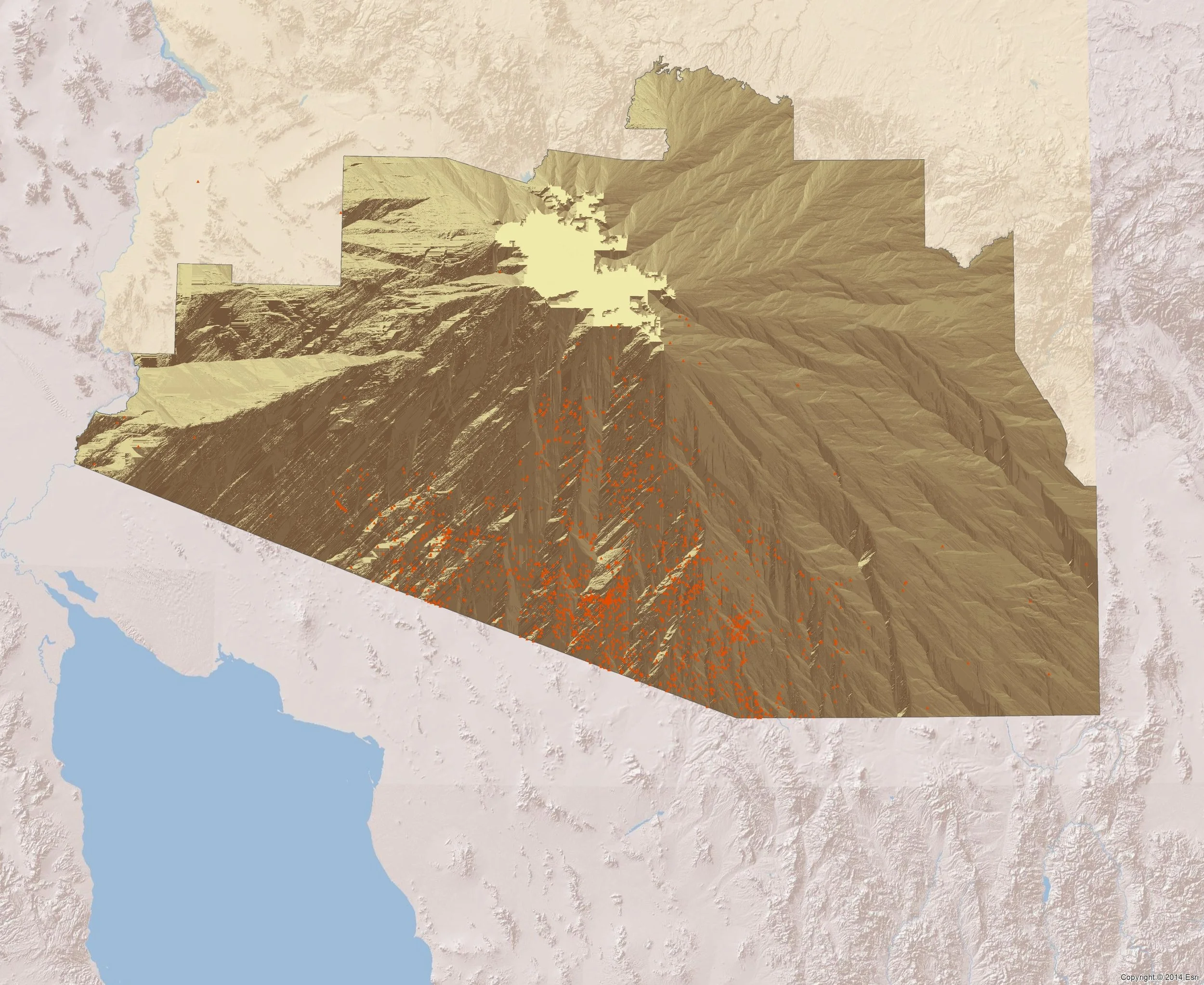
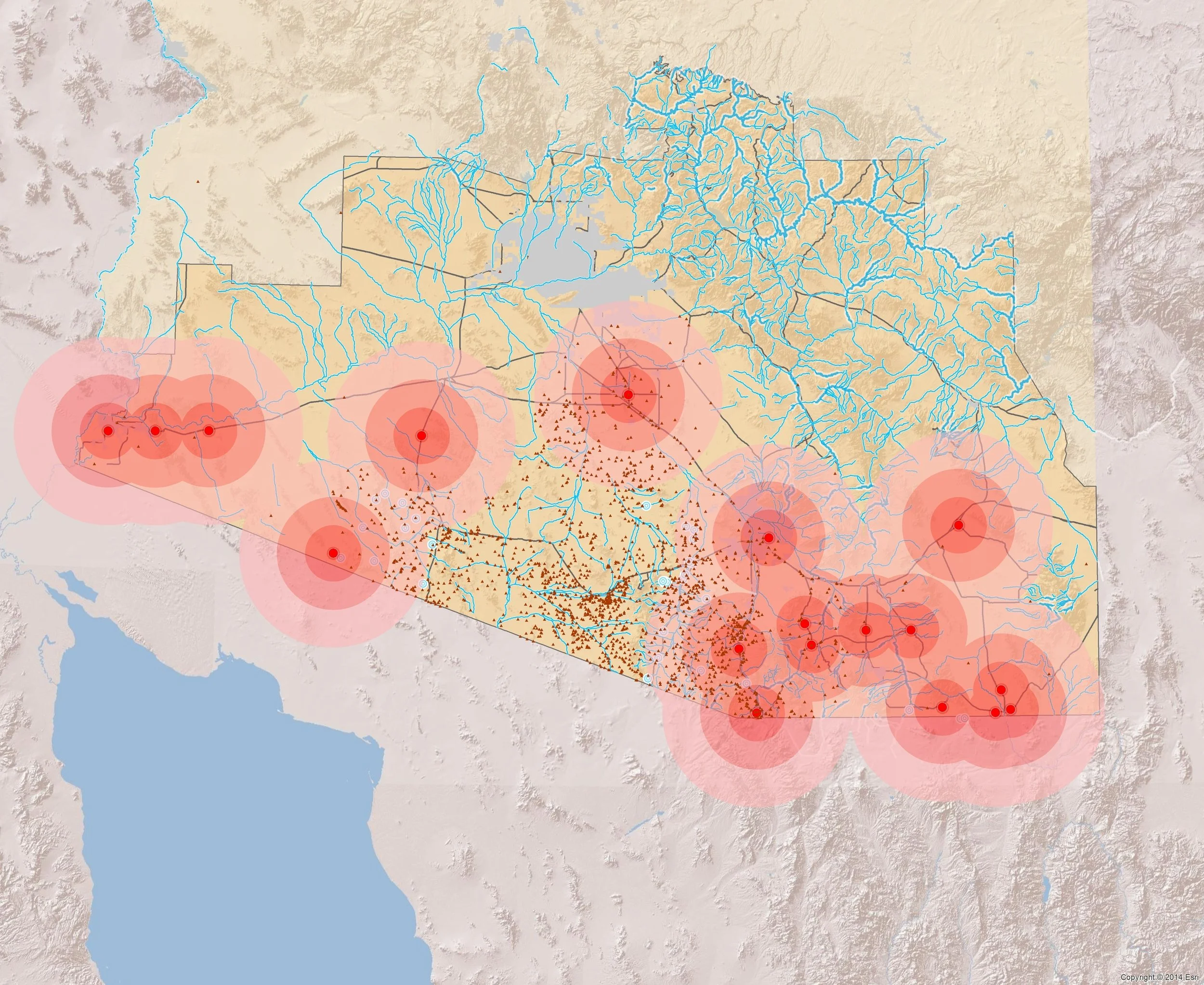
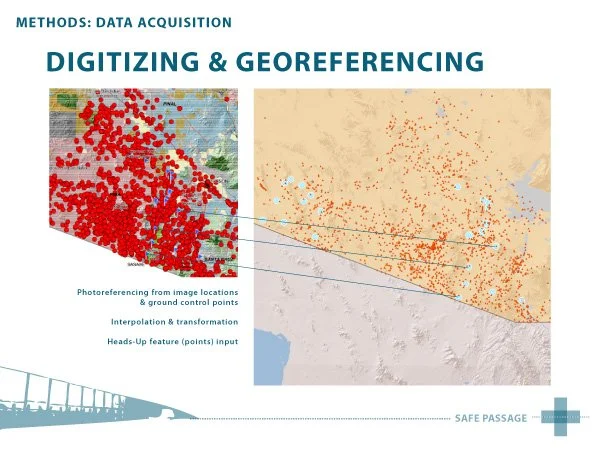
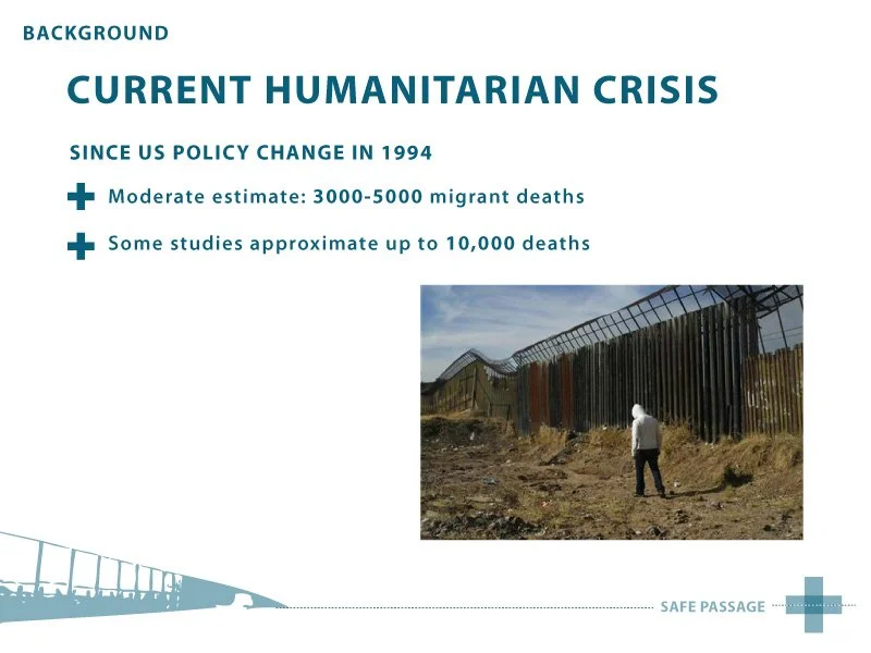

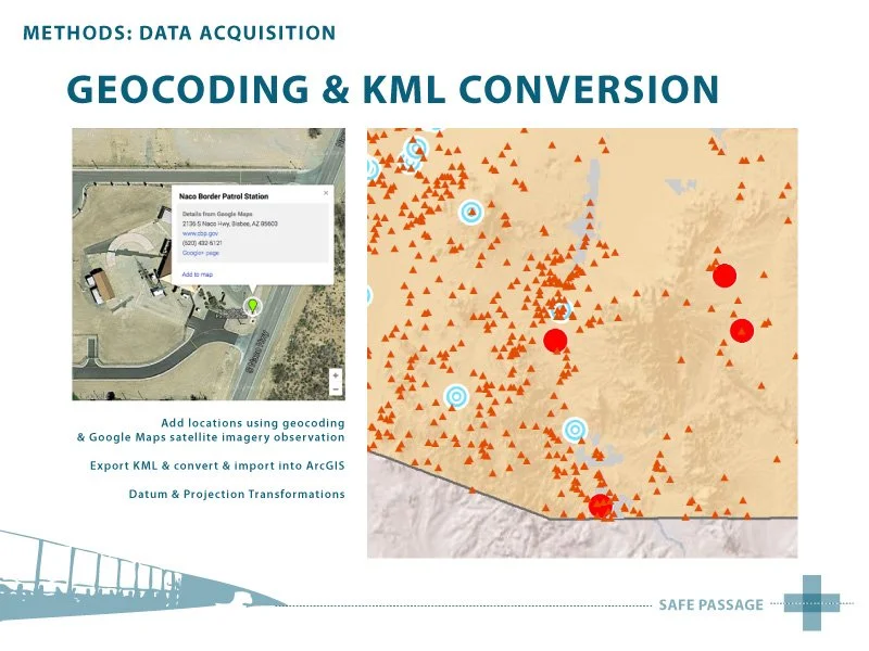
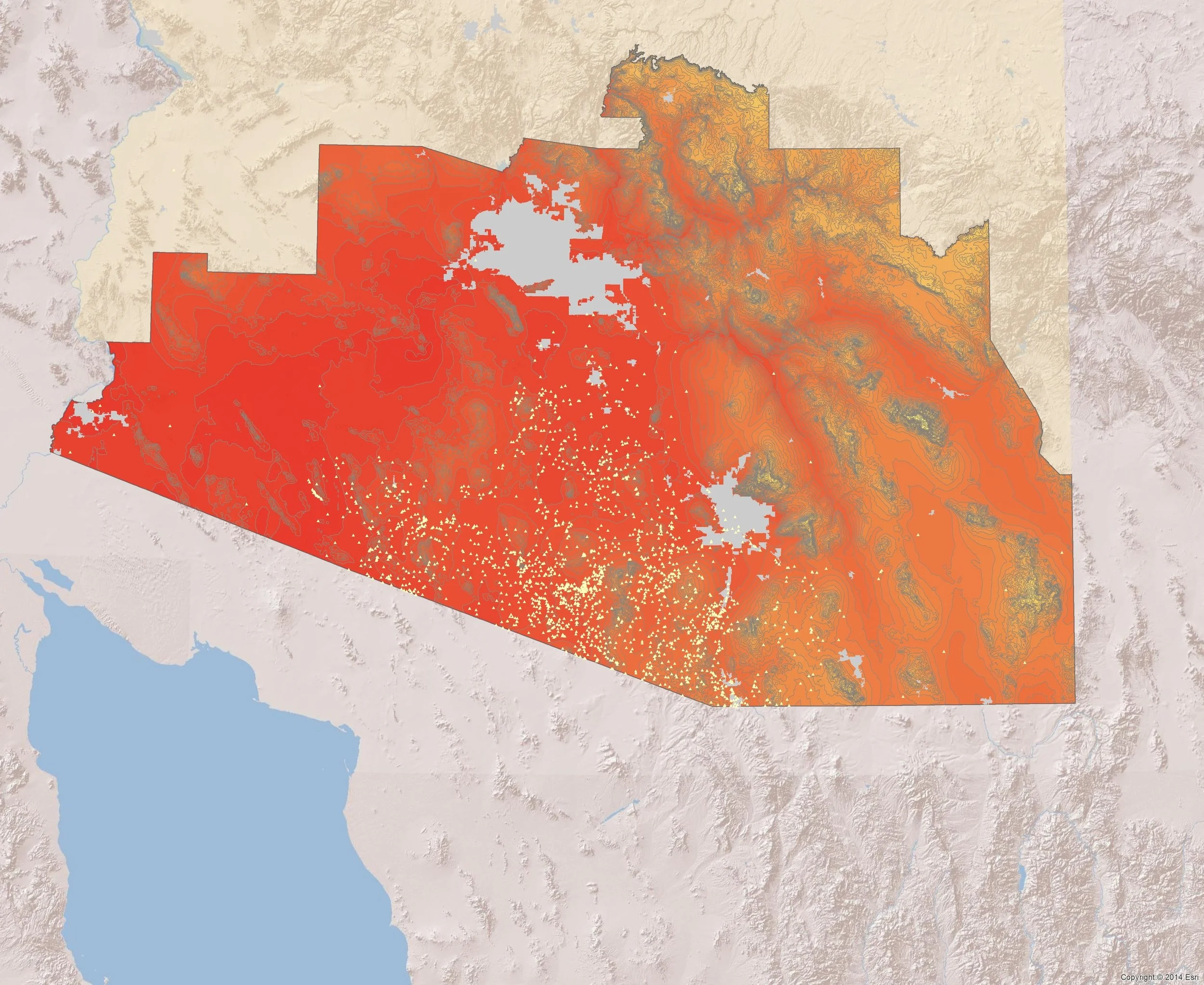
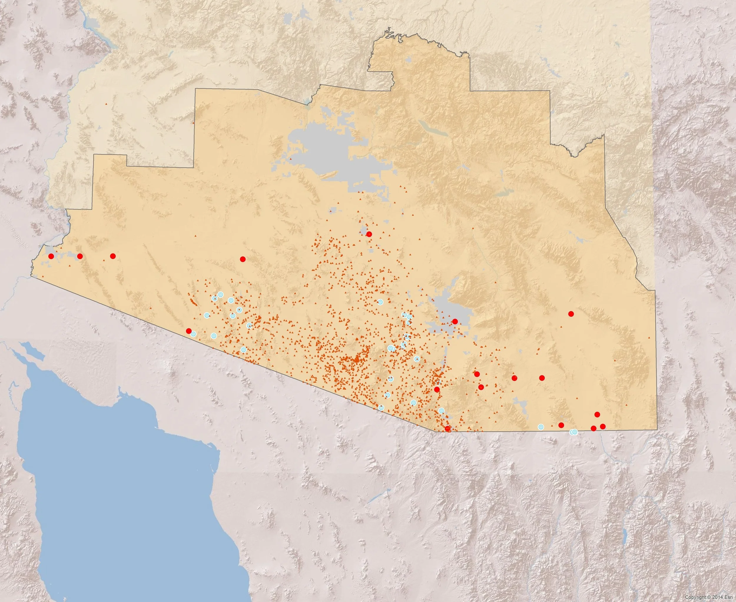
Current militarized enforcement of the U.S. – Mexico border has resulted in a shocking increase in migrant deaths. Researchers agree that while an exact number is impossible to achieve, most estimate that since "Operation: Hold the Line" policies took effect in 1994, between 3000 and 5000 migrant individuals have died attempting to cross the border. This number is equivalent to one person dying each day, and is most likely an under-estimation.
This tragic loss of human life along the border constitutes a humanitarian crisis that continues to be enacted by the United States’ border control, enforcement and prosecution policies. Many of the agencies tasked with enforcing these policies now utilize GIS, remote sensing and other geospatial and surveillance technologies to better track, identify and apprehend migrant persons attempting crossings. Safe Passage adapts these technologies to work for towards a more human-centered - v.s. nationalist centered - goal: to preserve human life. Inspired by the work of Humane Borders and the Electronic Disturbance Theater, two activist groups that utilize geospatial technologies as forms of “counter resistance” and humanitarian assistance, this project aims to use GIS to complement or enhance previously existing humanitarian endeavors happening along the borderlands.